


Ho trovato questo interessantissimo software di image editing.
http://www.eecs.wsu.edu/paint.net/index.html
Qualcuno lo conosce?
Stefano Giorgetti
always looking at the sky
per elaborare file immagine in formato RAW
Rawshooter Essential 2006
www.pixmantec.com
Segnalo questo sito, che crea una favicon dando in upload una qualsiasi immagine in formato Jpg: http://www.html-kit.com/e/favicon.cgi
"Credo nel potere del riso e delle lacrime come antidoto all'odio e al terrore." C. Chaplin
Always looking at the sky...
3Dem. Software per la visione tridimensionale di file DEM, ma non solo.
GiÃ* postato in passato, lo ripropongo.
http://www.visualizationsoftware.com/3dem.html
3DEM for Win95/98/ME/2000 and Windows XP will produce three dimensional terrain scenes and flyby animations from a wide variety of freely available data sources including:Terrain data files can be saved in the following formats for use by other GIS programs
- USGS Digital Elevation Model (ASCII DEM) files
- USGS Spatial Data Transfer Standard (SDTS DEM) files
- USGS National Elevation Dataset (NED) files
- USGS Global 30 Arc Second Elevation Data Set (GTOPO30 DEM) files
- NOAA Global Land One-km Base Elevation (GLOBE DEM) files
- NASA Shuttle Radar Topography Mission (SRTM) files
- NASA Mars Orbiter Laser Altimeter (MOLA) files
- NASA Mars Viking Orbiter Digital Topographic Map (DTM) files
- Any topographic data file organized by rows and columns of elevation data
USGS ASCII Digital Elevation Model (*.dem)
GeoTiff Graphics File (*.tif)
GeoTiff Digital Elevation Model (*.tif)
Binary terrain matrix (*.bin)
VRML world (*.wrl)
Terragen terrain (*.ter
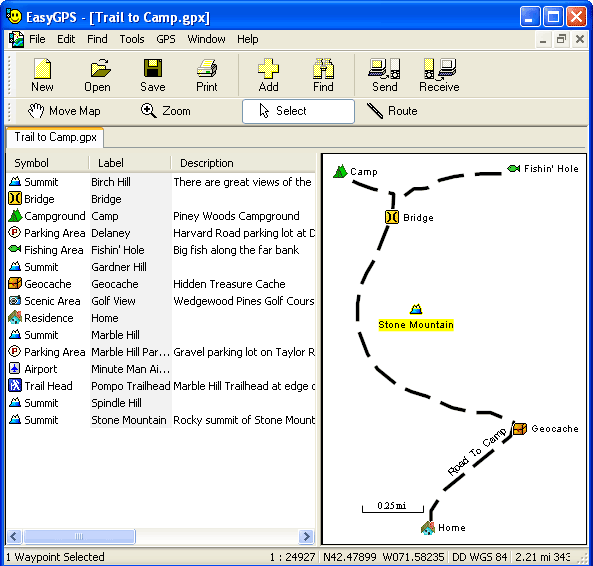
Easy GPS, entry level nel software per GPS
http://www.easygps.com/
DBDesigner 4 - GNU GPL
http://fabforce.net/dbdesigner4/features.php
Sto per provarlo, se mantiene le promesse è una bomba!!!

Stefano Giorgetti
always looking at the sky
Altro giro altro regalo
Free Commander 2006
Tool per la gestione dei file che ricalca lo stile del famoso Norton Commander.
http://freecommander.com/
Stefano Giorgetti
always looking at the sky
Interessante, ma ha dei GROSSI problemi se usato su Oracle.Originariamente Scritto da djordj
Lo uso per fare gli schemi DB stand/alone.
qui ci sono parecchi programmi freeware per gli usi più disparati
http://www.econsultant.com/i-want-fr...ies/index.html
vorrei chiedervi se ci sono programmi gratuiti per visualizzare file con estensione .iso
grazie per l'eventuale risposta
-@simo@-
Prova a guardare qui, parecchi forum ne parlano !
http://www.google.it/search?hl=it&hs...e+.iso&spell=1

 Permessi di Scrittura


 Rispondi Citando


Segnalibri